


Share on:


TOPOSHAPER EXCELLENT SKETCHUP PLUGIN
This is an excellent plugin, TopoShaper by Fredo6, generates Terrains from iso-contours, that is, contours which have a constant or quasi-constant altitude. Often, when generating terrain with the Sandbox > From contours tool, it has smaller of bigger faults, the generated terrain is not even and smooth and can look (let's face it) "ugly". TopoShaper generates beautifully even terrains based on quads which will look excellent in any application you may wish to render them.
TopoShaper generates Terrains:
- from a group of iso-contours, that is, contours which have a constant or quasi-constant altitude. The Terrain is generated as a QuadMesh
- from a Cloud of Points (given as a group of Guide points). The Terrain is generated as an adaptive Triangular mesh.
TopoShaper: IsoContours works in 4 steps:
- Selection of Contours , usually by pre-selecting a group containing the contours before launching TopoShaper
- Cleansing Contours, which can be useful when contours are imported as DXF/DWG files. In version 1.0, the Cleansing covers the exclusion / inclusion of contours, their simplification, automatic and manual junctions and removal of small hooks. There is an Altitude Editor to set or modify the altitude of the indivdual contours.
- Calculation of Terrain and Preview. The Terrain is computed on a rectangular grid. You can change the grid resolution and have option to configure the hilltops and basins.
- Generation of the Terrain Surface as a quad-mesh surface enclosed in a group. Optionally you can include the Skirt and the contour map, with or without altitude labels.
TopoShaper: PointsCloud
TopoShaper::PointsCloud takes a group of Guide Points. If it encloses faces, they will form the Clipping Contours. Otherwise, the default Clipping contours are taken as the convex hull of the points.
The Terrain is generated as an adaptive triangular mesh, where triangles are more dense where the altitude changes. The algorithm is iterative, by refinement of the triangulation until the Terrain is 'smooth' enough (specified by a smoothing angle). Points are part of the mesh (i.e. the terrain passes thorugh the original points).
Here an good videotutorial by Tutorial UP on How To Use TopoShaper Plugin in Sketchup
Where to download this plugin?
The TopoShaper plugin by Fredo 6, is available for free at SketchUpcation, by clicking here.
Where you can see a series of very useful video tutorials to learn how to use it
IMPORTANT NOTE
Please read the forum topic on how to install and what other requirements are carefully.
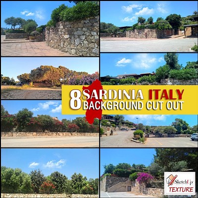 Sardinia Italy backgrounds cut out 00058
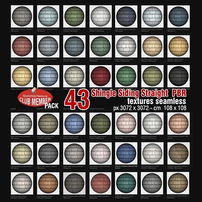 HARDIE SHINGLE SIDING STRAIGHT PBR texture seamless 00057
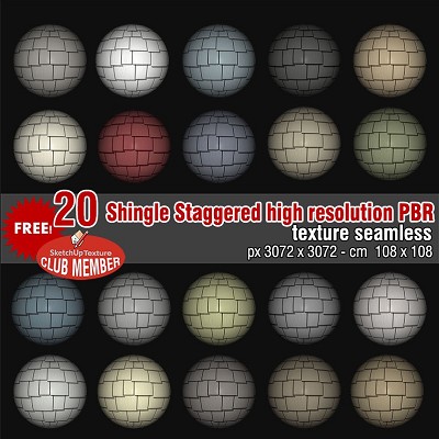 HardieShingle Siding Staggered PBR texture seamless 00056
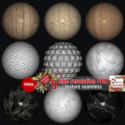 Free PBR textures package Christmas 2019 00055
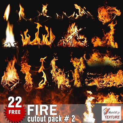 FIRE cutout Pack #2 00054
 FIRE cutout Pack #1 00053
 Free textures package Christmas 2018 00052
 Sunrise summer skies Pack 2 00051
 FREE PACK RUGBY BACKGROUNDS HR 00050
 CUT OUT PEOPLE IN PAJAMAS PACK 4 00049
 CUT OUT PEOPLE PACK 3 00048
 CUT OUT ASIAN PEOPLE PACK 3 00047
 CUT OUT PALMS PACK 1 00046
 Bricks vray for sketchup Vismats Pack 2 00045
 Concrete Vismat vray for sketchup pack 1 00044
 Bricks vray for sketchup Vismats Pack 1 - 00043
 CUT OUT TREES PACK 6 00041
 CRAZY HOUSE by MOMENTI 00040
 CUT OUT WINTER TREES PACK 2 00039
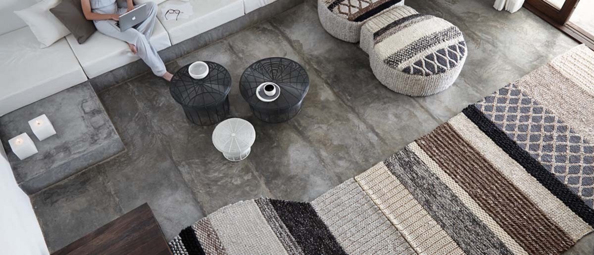
 MANGAS RUGS & PUFS PACK 2 00038
Share on: